Survey Services Provided by Ferguson Land Surveyors
ALTA/NSPS Land Title Surveys Boundary, Topographic & Tree Surveys
Architectural Design Surveys Condominium Plats
Earthwork Surveys/Volume Computations Engineering Design Surveys
Subdivision/Land Plats Construction Layout Surveys
Record As-built Surveys GPS Control Network Surveys
FEMA Elevation Certificates Descriptions & Sketches
GIS Mapping & As-builts Wetland Jurisdictional Surveys
Tidal Water Surveys 3D Digital Modeling for Machine Control
Subsurface Utility Location Surveys GPS Horizontal & Vertical Control Surveys
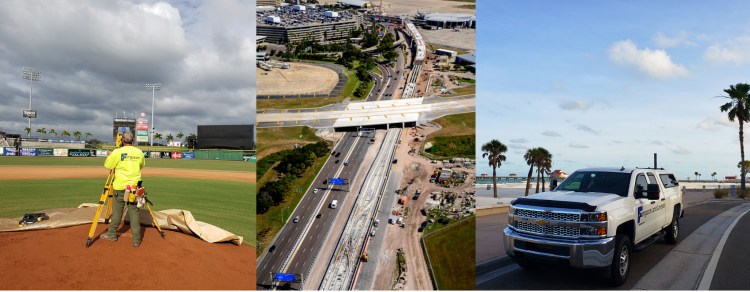
FLS provides geospatial surveying and mapping services on many Federal, State, Municipal, Commercial, and Private projects such as:
• Power Plant Improvements
• International, Public & Federal Airport Improvements
• U.S. Military Base Improvements
• Potable/Reclaimed Water Line Improvements
• Well Field Surface Water Management
• Shopping Centers & High-rise Buildings
• High Accuracy Structural Surveys
• Wastewater Treatment Plant Facilities
• Public/Private Schools & Colleges
• Large-scale Multi-lane Divided Highway Construction
• Seaports
• Structural Monitoring Surveys

You must be logged in to post a comment.